

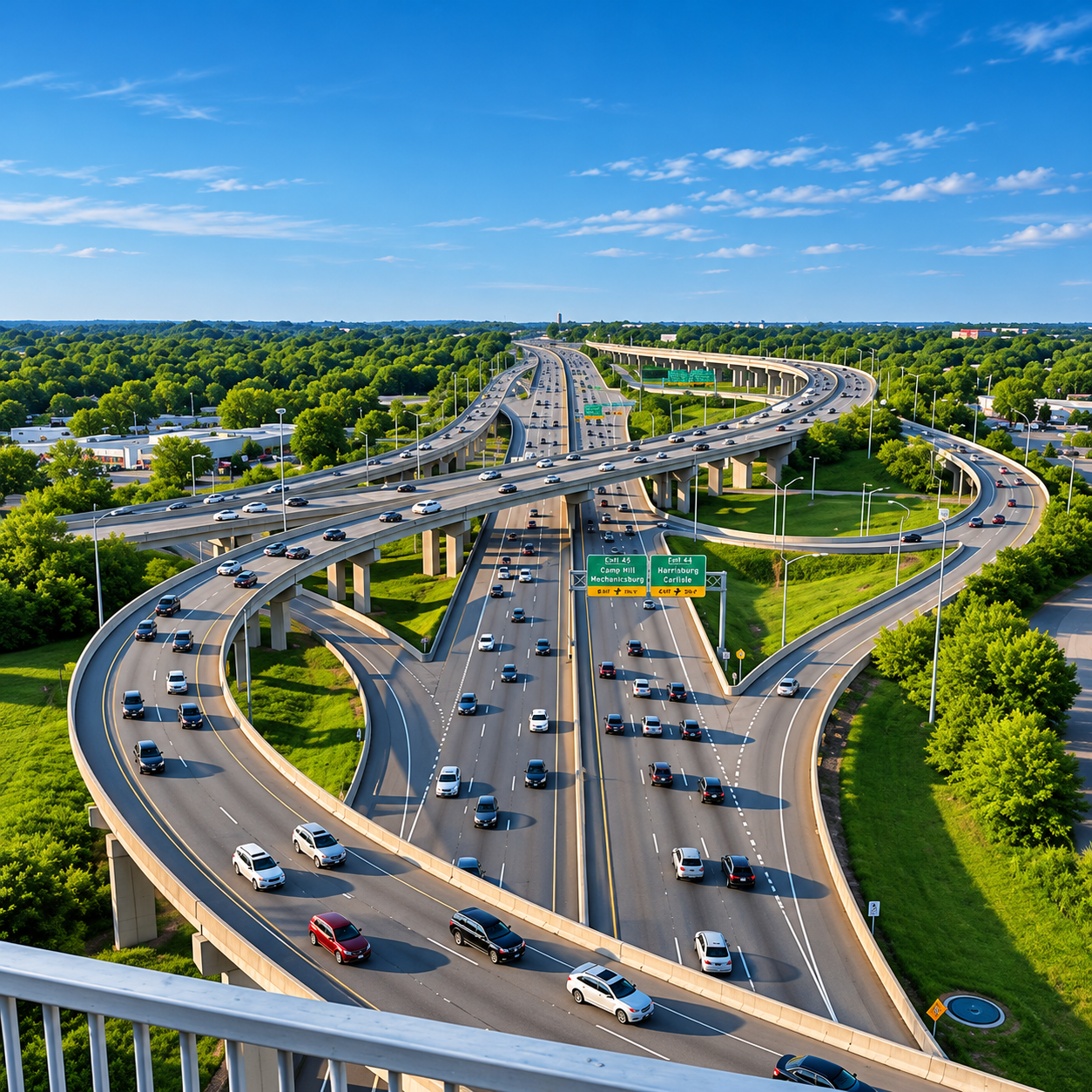
A home that looks perfect online can become a daily frustration if the commute doesn't work. Central Pennsylvania's geography — a major river bisecting the metro, a ring of suburban boroughs, and key employment hubs spread across both shores — means commute planning is one of the most practical, high-impact things a relocating buyer can do before choosing a community. Here's how we help you map it out.
The geography that shapes every commute.
The Susquehanna River splits the Harrisburg metro into the West Shore (Cumberland and Perry counties) and the East Shore (Dauphin County). A handful of crossings connect the two — the Interstate 81 bridge, the Interstate 83 bridge, the Market Street Bridge, the M. Harvey Taylor Bridge, and the Harvey Taylor pedestrian bridge — and all of them carry heavy rush-hour traffic. You can see live conditions, incidents, and camera feeds for every crossing on the 511PA traffic map, which we check before recommending a route. Where you live relative to those crossings, and which side of the river you work on, will shape your daily drive more than almost any other factor.
Average commutes are remarkably balanced.
According to the Census Bureau's 2020–2024 American Community Survey estimates, Cumberland County's mean commute to work is 21.8 minutes and Dauphin County's is 21.5 minutes — nearly identical despite the different geographic layouts. That balance is one of the region's quiet advantages: you don't have to live on the same side of the river as your job to have a reasonable commute. But averages don't tell the whole story. Someone working in downtown Harrisburg and living in Lemoyne may have a short commute, while someone living farther west in Mechanicsburg could spend substantially more time traveling during peak hours — and 511PA shows exactly how those peak-hour backups build across the bridges.
Drive the commute at your real hours.
This is our single most repeated piece of advice to relocating buyers: drive your intended commute during the actual hours you would normally travel before deciding on a neighborhood. A 20-minute Saturday test drive tells you almost nothing about a Tuesday at 7:45 a.m. or a Thursday at 5:15 p.m. We help buyers identify the realistic peak-hour drive time from each candidate community to their workplace using 511PA for official PennDOT traffic and construction data, plus crowd-sourced apps like Waze and Google Maps — which layer live traffic, road closures, and historical congestion patterns — so there are no surprises after settlement.
Commute to downtown Harrisburg and the Capitol.
If you work downtown or at the State Capitol, the East Shore puts you minutes from the office — many East Shore suburbs like Lower Paxton, Swatara, and Hummelstown reach downtown in 10–20 minutes. From the West Shore, downtown is still very accessible via the Market Street or M. Harvey Taylor bridges, with Camp Hill and Lemoyne reaching downtown in roughly 10–15 minutes and Mechanicsburg in 20–30 minutes depending on traffic. The bridge approach can add time during peak hours, so we map the specific route, not just the distance — and the 511PA cameras on the bridges tell us in real time when a crossing is backing up.
Commute to Hershey and the medical center.
The Penn State Health Milton S. Hershey Medical Center and the broader Hershey employment hub sit on the eastern side of the metro. From East Shore communities like Hummelstown, Lower Paxton, and Hershey itself, the commute is short — often under 15 minutes. From the West Shore, the drive to Hershey is longer and crosses the metro, making East Shore or Hershey-area communities the natural choice for medical-center employees. We help healthcare relocators weigh proximity to work against school district and price preferences.
Commute to the Turnpike and I-81 corridor.
The Pennsylvania Turnpike and Interstate 81 form a logistics and distribution corridor that runs through the western and southern edges of the metro, with major employers in Carlisle, Mechanicsburg, and the surrounding townships. For employees in that corridor, West Shore communities like Mechanicsburg, Carlisle, and Enola offer the shortest commutes. You can check tolls, travel conditions, and planned construction on the PA Turnpike website, and live corridor conditions and work zones on 511PA. The interchange of I-81 and the Turnpike near Carlisle is one of the busiest freight corridors in the region, and living near it can dramatically shorten a daily drive for logistics, distribution, and corporate-office employees.
Harrisburg International Airport (MDT).
Harrisburg International Airport sits on the East Shore in Lower Swatara Township, just southeast of the city. You can check flight schedules, airlines, and parking availability at flyHIA.com. For frequent travelers, East Shore communities like Lower Paxton, Swatara, and Hummelstown offer the easiest airport access, typically 15–25 minutes. From the West Shore, the airport is reachable via I-83 and the I-83 bridge, usually 25–40 minutes depending on location and traffic. If you travel weekly for work, airport proximity is worth factoring into the community decision.
Future construction to watch.
PennDOT has identified future rehabilitation work for the Market Street Bridge with construction anticipated as early as 2027. Bridge projects in this region can shift traffic patterns for months or years, and a commute that works today may change during construction. You can track planned and active projects across the region on PennDOT's project pages, and check current work zones, lane closures, and detours on 511PA. We keep relocating buyers aware of planned projects that could affect their route so they can factor it into a long-term decision.
Public transit and alternatives.
Capital Area Transit (CAT) provides bus service in the greater Harrisburg area, primarily serving the city and nearby East Shore communities — you can view routes, schedules, and fares at cattransit.org. Amtrak's Harrisburg station offers rail service along the Keystone Corridor to Philadelphia, New York, and beyond — check schedules and fares at Amtrak.com — a meaningful option for buyers who travel to the Northeast corridor regularly. For most suburban West Shore and East Shore buyers, though, a personal vehicle is the primary commute mode, which is why drive-time mapping matters so much.
How we map it.
For every candidate community, we build a commute profile: peak-hour drive time to your workplace, to the airport, to key amenities, and to the school your children would attend. We map alternate routes for when the primary bridge or highway backs up, and we flag planned construction that could change the picture. The goal is simple: no relocating buyer should discover their commute is harder than expected after they've already moved. Living in Central PA Team | Iron Valley Real Estate — Aaron & Josh — 717-REALTOR (717-732-5867).
Key Takeaways
- The Susquehanna River splits the metro — your side vs. your job's side shapes the drive
- Mean commutes are nearly identical (~21.5 min) on both shores, but averages hide peak hours
- Always drive the commute at your real hours before choosing a neighborhood
- Downtown/Capitol: East Shore 10–20 min; West Shore 10–30 min via the bridges
- Hershey Medical Center: East Shore/Hershey area under 15 min; West Shore much longer
- Turnpike/I-81 corridor: West Shore communities (Carlisle, Mechanicsburg, Enola) are closest
- Harrisburg International Airport (MDT) is on the East Shore — 15–25 min from East Shore towns
- Watch planned bridge construction (Market Street Bridge rehab ~2027) that can shift routes
- Amtrak Keystone Corridor serves Philly/NYC from downtown Harrisburg for frequent travelers
- We build a full commute profile for every candidate community before you commit